

Shared Airspace Awareness & Communication
See nearby crewed aircraft and drones. Share flight intentions with the people who need them.
We build sensing and communications infrastructure for pilots and drone operators who share the skies above our cities.
One shared infrastructure network. Four connected services.
A future where the sky connects communities and creates new ways to deliver essential services.
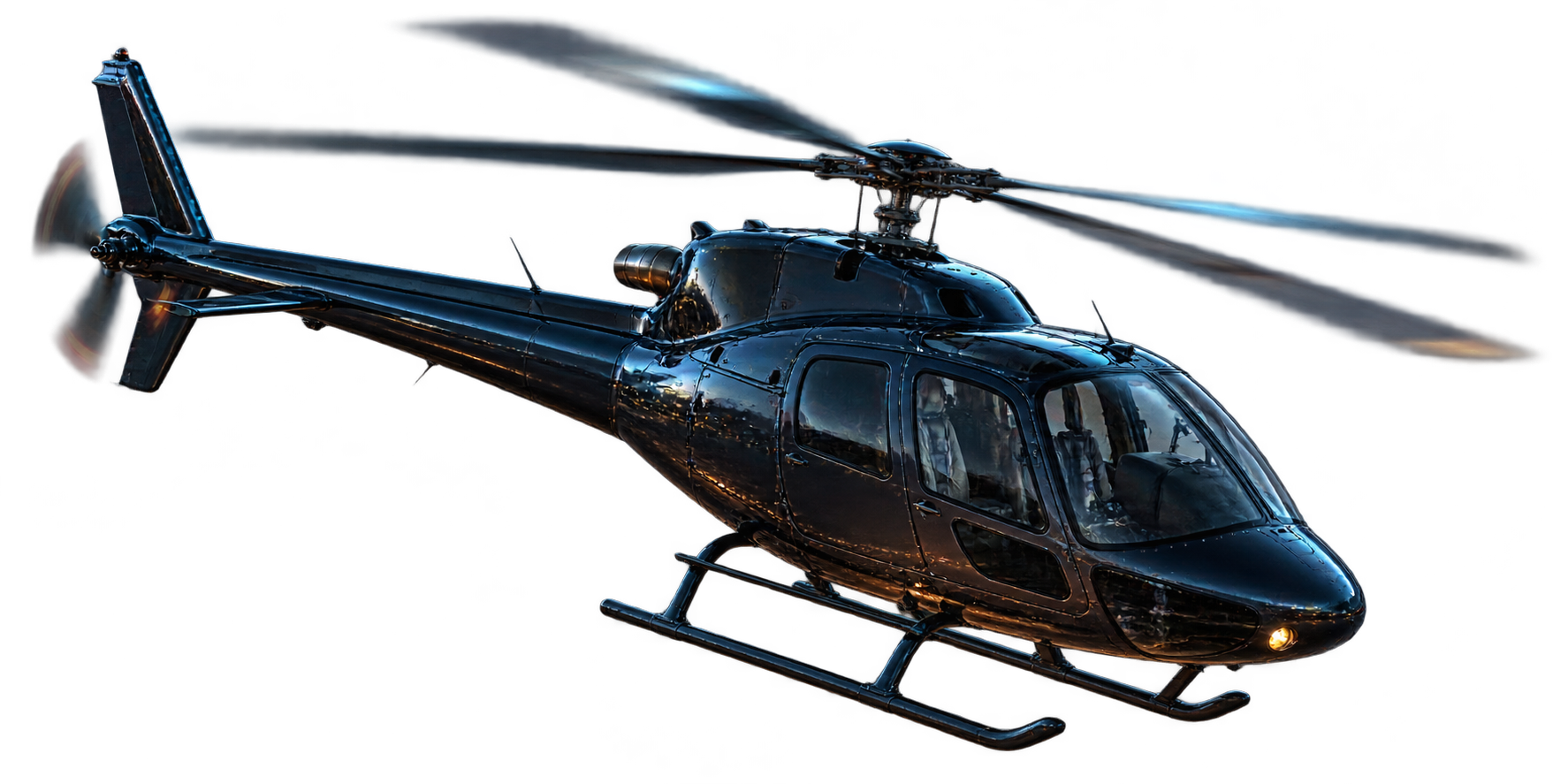
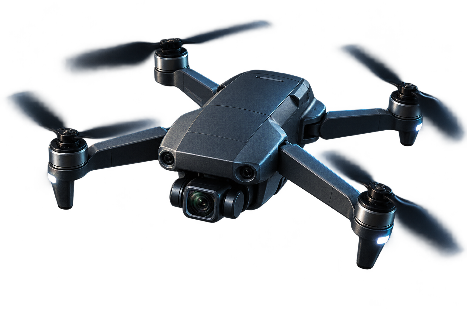
A rescue crew, a delivery drone and a recreational pilot can all arrive over the same suburb within minutes. Each needs to know who else is there.
Our mission is to give them that shared view, open opportunities for commercial aviation and support public safety.
See nearby crewed aircraft and drones. Share flight intentions with the people who need them.
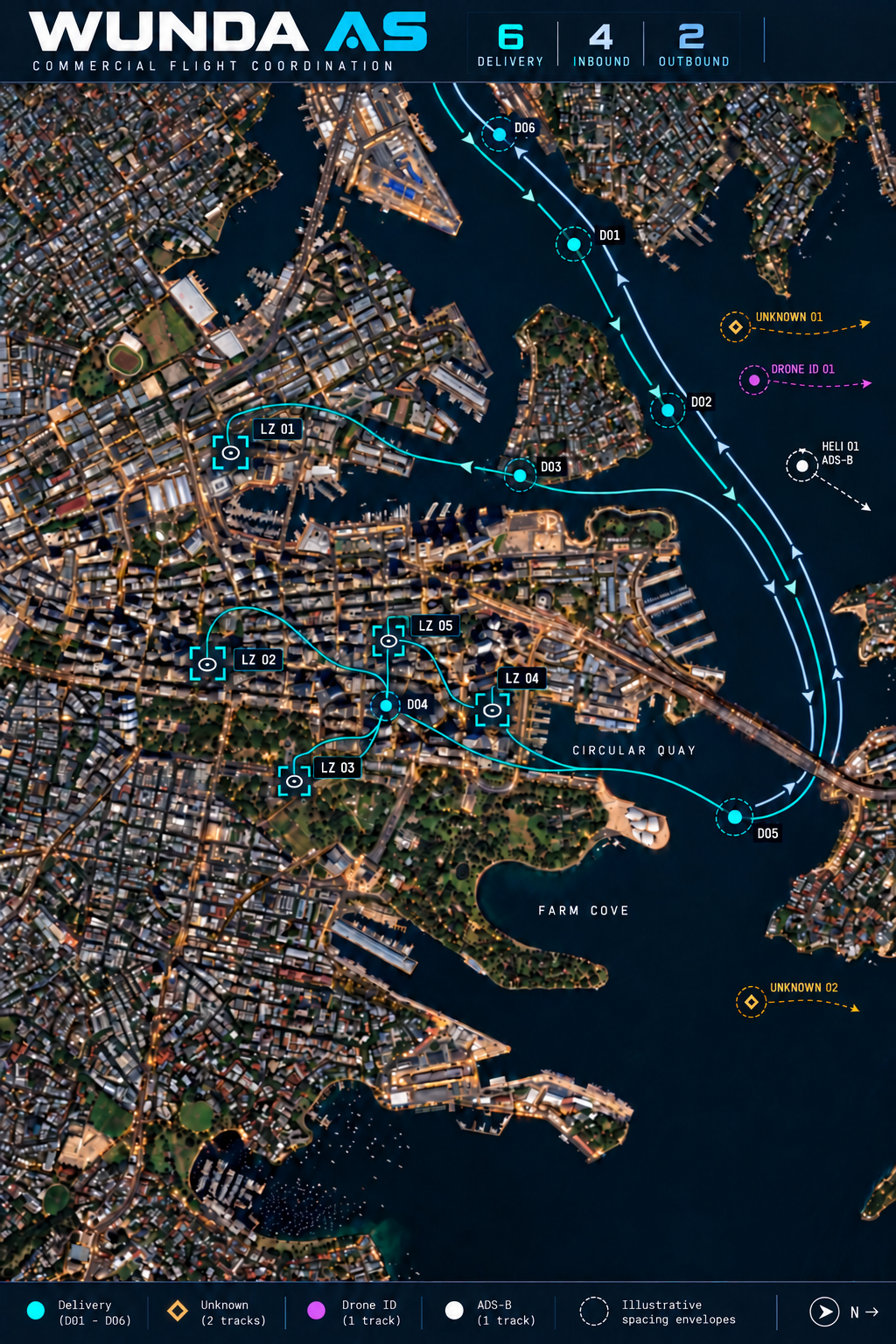
Coordinate missions in a shared ecosystem. Plan routes, departure times and separation around other traffic.
Help authorised organisations recognise concerning activity and decide when a response is warranted.
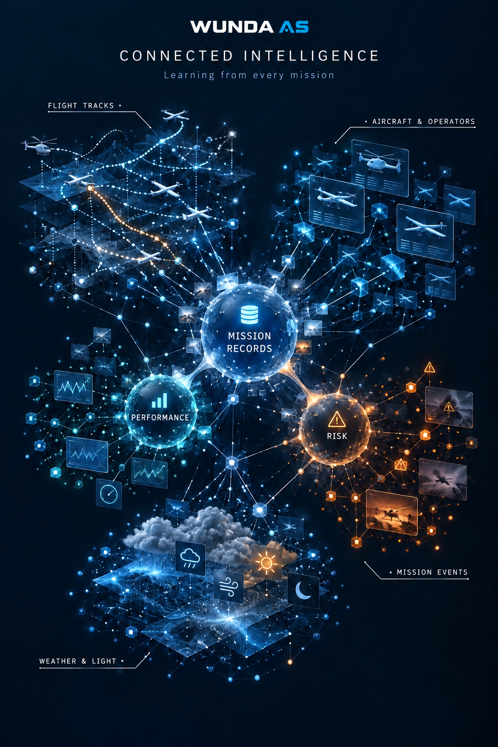
Learn from flight records, understand local conditions and assess options for backup communications.
A metropolitan network, building the future of aviation.
Sensing nodes on rooftops and ridgelines process observations locally. An encrypted IP mesh carries them between sites. Fibre gateways connect the network to the operations centre.
If a link fails, traffic can take another available route. Battery backup supports nodes during local power outages.

Sensing and processing at each node
Routing around unavailable links
Fibre links to the operations centre
A control centre for the airspace you manage.
Wunda’s 3D maps put aircraft in context. See how high an aircraft is flying and which rooftops, ridges or event sites are nearby.

Follow a flight from its first observation through to review.
Each track retains its source and timestamp so teams can distinguish a report from an estimate.
What does your team need to know?
Explore the four services below, from spotting nearby aircraft to planning the next flight.
A rescue helicopter approaches a beach where a lifesaving drone is on patrol. A pilot needs to see the drone. The drone crew needs to know the helicopter is arriving.
Identified aircraft, unknown tracks and uncertain observations are shown separately.
Discuss airspace awareness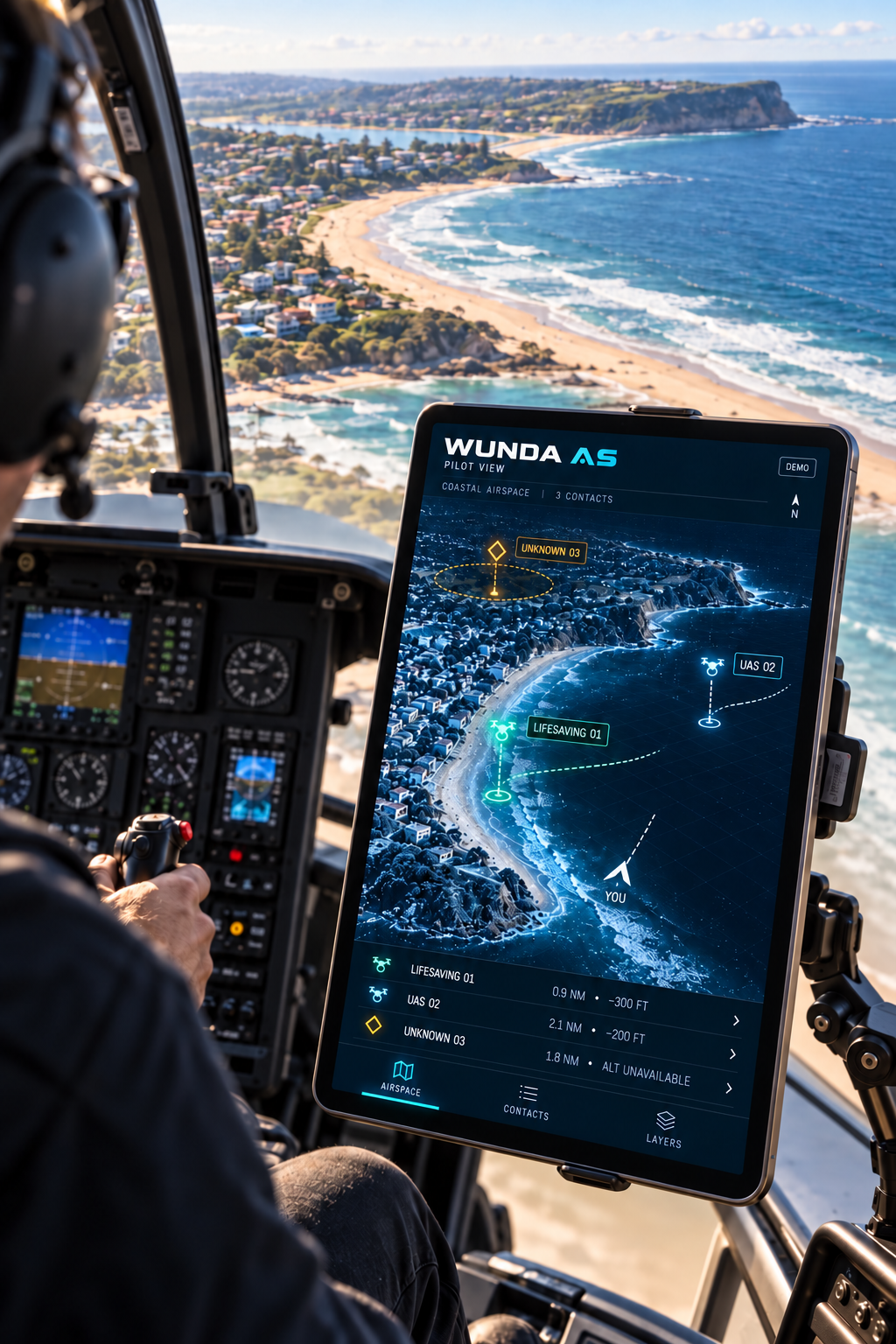

We develop airspace software and sensing infrastructure in Australia. If you operate aircraft, manage a site or coordinate a public event, tell us where you need a clearer view.
Talk to our team